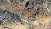
And I've kept pointing out that both are inadequate in detail and relevance. Why don't you make a map of your own.The above image was a timelapse showing how the specific conflict point(Kugrang Valley) east of pp15 changed between last June and April, which is the only conflict point in the area. I have already posted two zoomed out and annotated maps(Abhijit Iyer's and Detresfa's).
Kugrang River lies to the west of Changlung river. And a bit downstream to the Camps at Changlung (PP15 point) is where they meet.
Indian Army, hasn't moved east.
And all this is never in Chinese controlled region but within what is Indian controlled region.
The Indian media report itself says that no improvements have been made in the two regions PP15 and PP17A.
And btw, do go back some posts, you insisted that Indian army somehow "secured" DBO by taking mountain tops in Galwan. The DBO runs parallel to Shyok and not Galwan.

