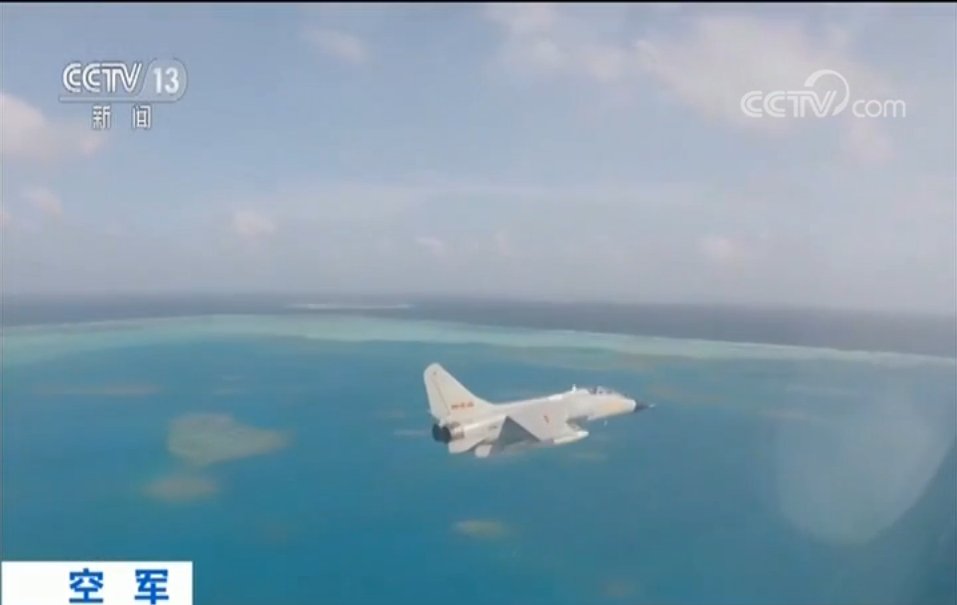
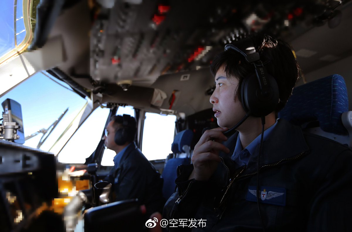
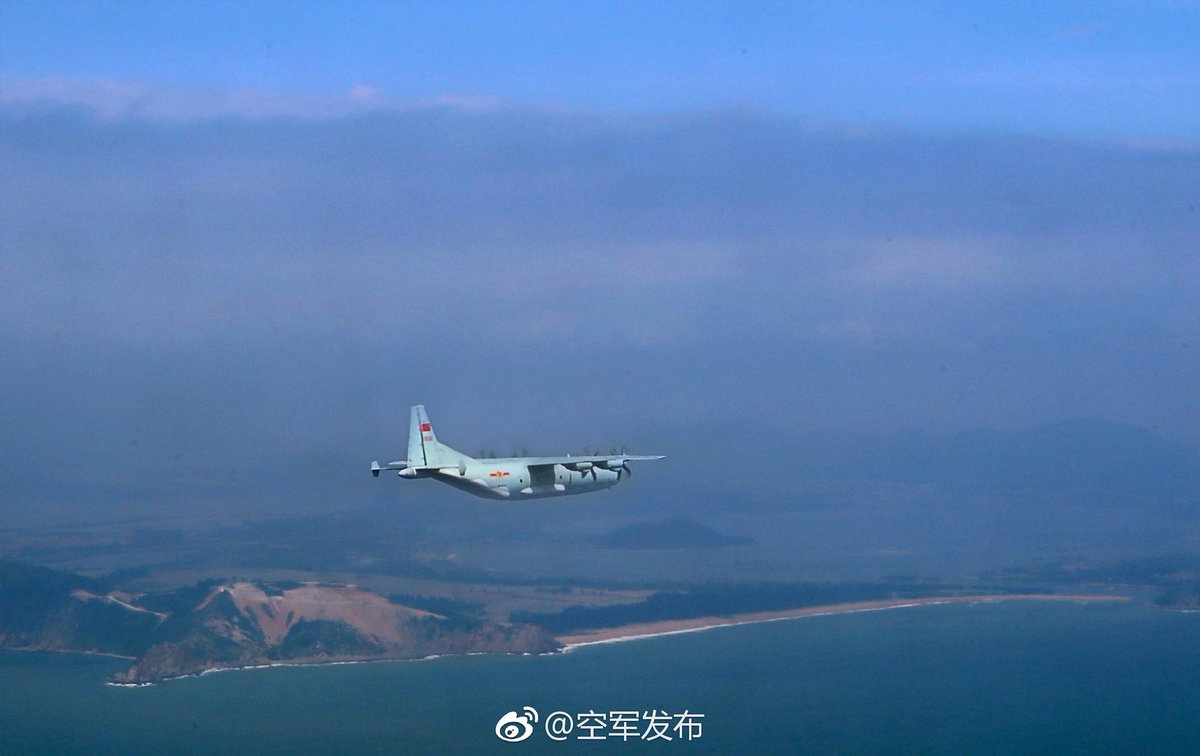
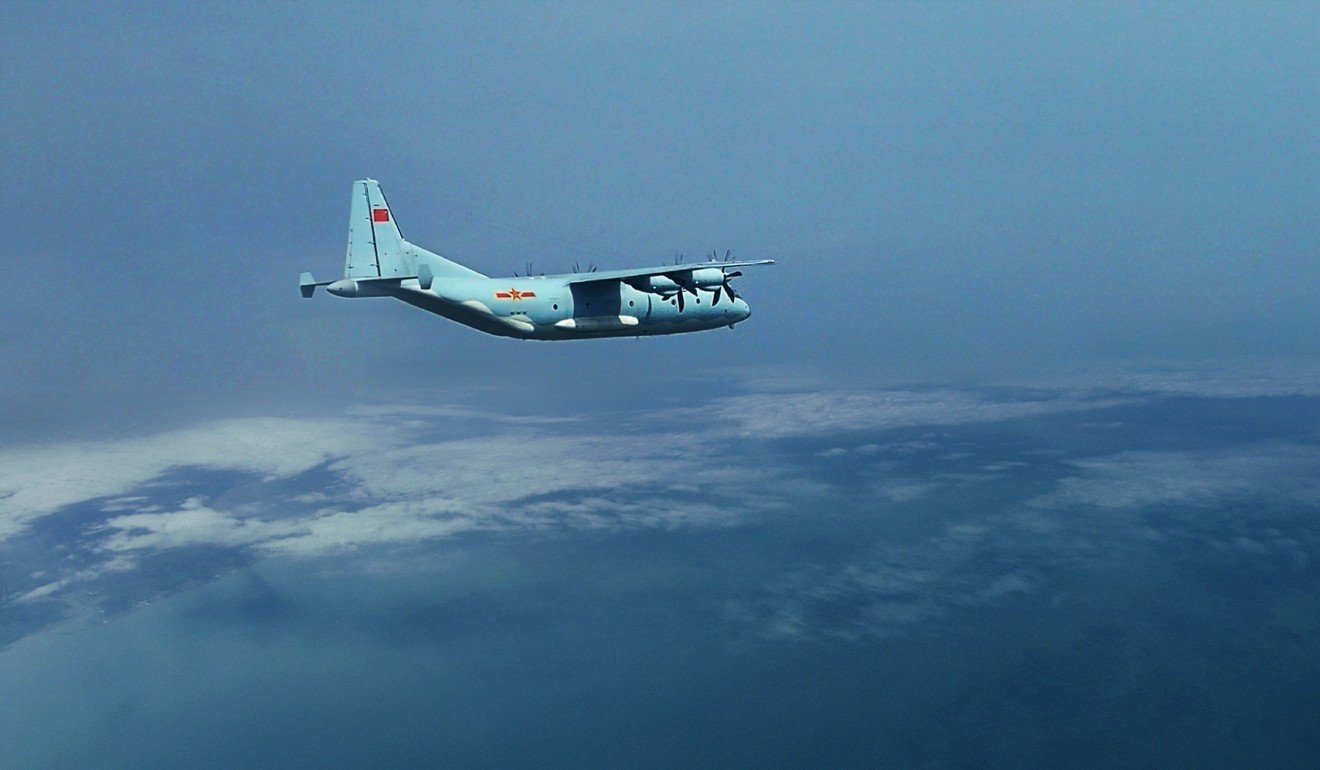
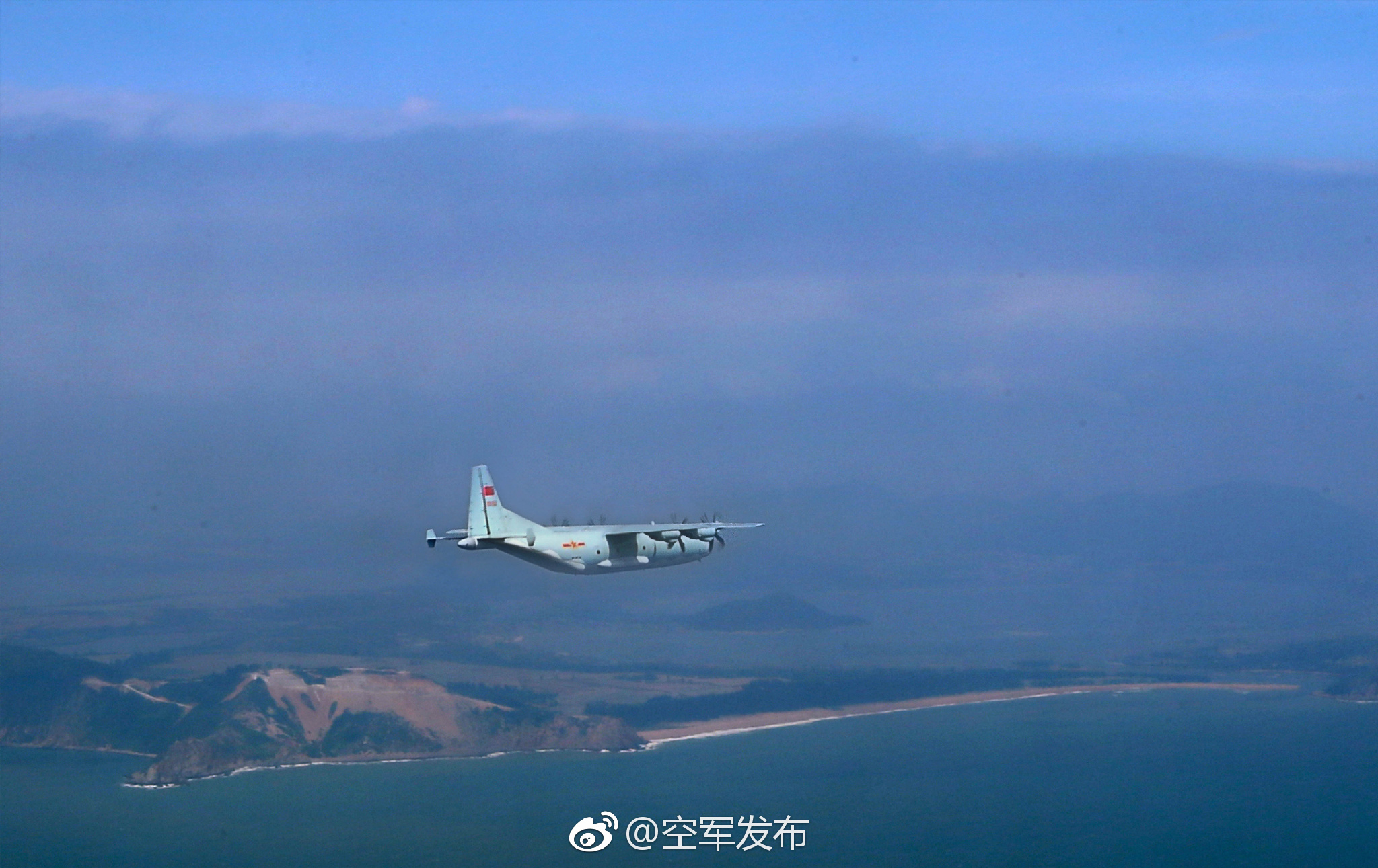
Here is the video of air drop exercise in SCS, I guess they heed the prez exhort ion to be prepared for any eventuality
Here Henri K take on the subject
From Sichuan to Spratleys, PLAAF simulates parachute emergency supply?
BY
Among artificially enlarged atolls by the Chinese government in the South China Sea, the Fiery Cross Reef (永 暑 礁), the Mischief Reef (美 济 礁) and the Subi Reef (渚 碧 礁), which form a triangle in the Spratley Islands, are probably the largest and also the best equipped in infrastructure of all kinds.
The realization of this pharaonic work is drawn on the one hand by the fact that China is determined to anchor permanently south of this highly disputed region by all neighboring countries, on the other hand by the reality that the Spratleys is located more than 1,000 km from the nearest Chinese coast, making logistical support operations to supply these "islands", which have no source of fresh water for example, problematic.
In times of low to medium intensity conflict, such as ensuring that thousands of people, civilians and military all together, can have enough food and equipment to remain operational is a serious subject and preoccupation for the army Chinese.
And what we can see so far, the first Chinese efforts are not all on how to arm these three islets to the maximum - that goes without saying - but how to feed these "little" distant pied-à-terre in a potentially hostile environment in a redundant way.
The main atolls controlled by China in the South China Sea (Image: East Pendulum)
Today, each of these three Chinese fortified atolls in the Spratleys are equipped with a 3000-meter runway,
, and ports to accommodate ships of several thousands of tons. But what if these tracks are damaged during the conflicts and sea lanes locked by opposing naval forces?
The Chinese air force seems to have given a first answer to this question, recently making a release of several of its
Y-9 medium transport aircraft to conduct a parachute simulation to the Spratleys.
on this operation remained deliberately vague. It is unclear both when exactly the operation was conducted, and what was the precise destination of this simulation. Everything is in the unspoken and the interpretation for those who want to dig well.
If we take the institutional text at its word, we learn that a squadron of several Y-9 took off, at dawn, from an air base located west of Sichuan. The aircraft arrived in the afternoon over a certain islet in the South China Sea, before conducting a parachute simulation and turning back to the mainland, and landing again in the evening.
At first glance, we have little to reconstruct the story. But the article is full of clues to reveal some interesting details.
First, the place of departure. Where do these Y-9 transport planes come from? The text speaks of a base located west of Sichuan Province and the only one that meets these criteria is that of Qionglai (邛 崃), the 4th Transport Division of the Chinese Air Force.
It was in this same division that
.
Qionglai Air Base, located west of China's Sichuan Province
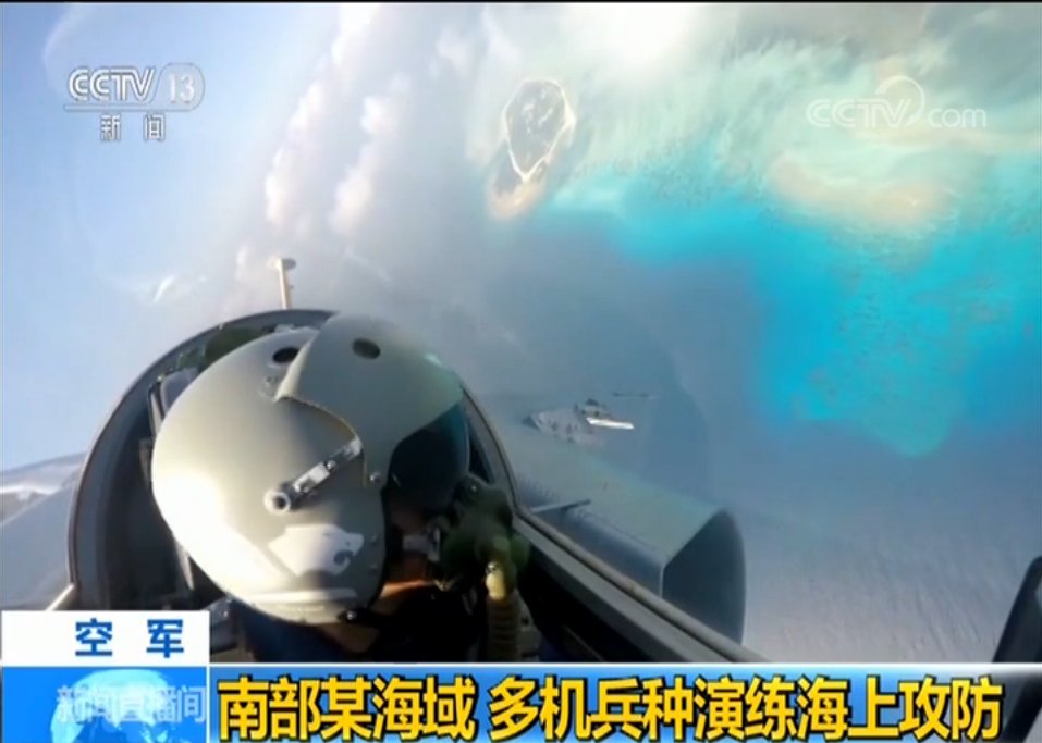
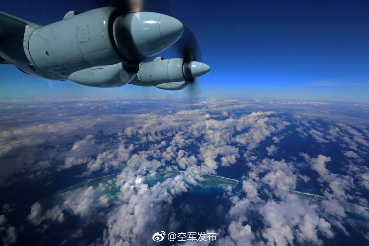
Once the identified starting point comes then the question about the destination. And the pictures released in parallel by the Chinese army suggested us a place and only one. Indeed, we can see on one of the images the Fiery Cross reef on the left flank of a Y-9. It is one of the last southernmost islets of the Spratleys controlled by China. So there is almost no doubt that the place for this parachute mission is the Fiery Cross Reef.
On paper, the Y-9s flew at least 2,517 kilometers from Qionglai to the Fiery Cross Reef, if we trace foolishly and simply a straight line to connect these two places, but the actual distance of the course should be greater.
The silhouette of Fiery Cross Reef can be seen in this photo released by the Chinese Air Force (Photo: 空军 发布)
The Fiery Cross Reef
From Qionglai Air Base to Fiery Cross Reef (Image: East Pendulum)
